Getting Here
Before heading to Big Bear Lake, study maps of the area and plan your route.
When selecting a route, consider traffic and road conditions, weather conditions, and chain requirements. Do not not rely on GPS to guide you. Some roads in mountain regions are unpaved and unsuitable for 2-wheel drive or low riding vehicles.

3 Main Routes
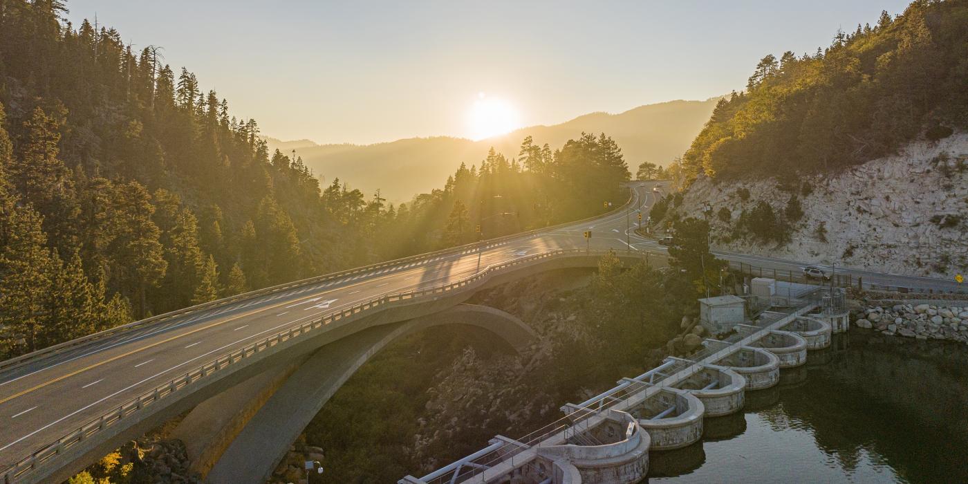
The three main roads to Big Bear Lake are Hwy 330 (through Highland), Hwy 38 (through Redlands) and Hwy 18 (through Lucerne Valley). If you're driving to Big Bear Lake, study these routes and see what freeways they connect to. See tabs at the top of this page for directions from California cities and out-of-state locations.
Notice: HWY-38 is closed please use alternative routes - view road info
Once arrived in Big Bear, leave your vehicle at your accommodations and hop on the Free Big Bear Trolley.
Airport Travel
If you're flying into California, the most common airports are LAX (Los Angeles), Ontario International (Inland Empire), Palm Springs, and John Wayne Airport (Orange County). Follow tabs at the top of this page for driving directions from these areas. You may also land in Big Bear as a private pilot at Big Bear Airport.
For Public Transportation options from Southern California airports, see our train/bus guide.
Public Transportation
Southern California train and bus lines connect Big Bear to cities off-mountain. Consider Metrolink lines to San Bernardino and transfer to Mountain Transit's fixed bus route service between Big Bear Lake and San Bernardino available on Monday, Wednesday, and Friday.
In Big Bear, hop on the Free Big Bear Trolley to navigate town and access ski resorts, The Village, grocers, and more. You can also request Dial-A-Ride service and Airport Shuttles from Mountain Transit. All trolleys and public transport vehicles are wheelchair accessible and equipped with bike racks.
Driving Safety
When driving to/from Big Bear after a snow storm or during busy peak periods, consider this:
- Hwy. 330 is the most traveled route and sees the heaviest traffic on Fridays, Saturdays, and Sundays.
- Holidays like Christmas are busy and see traffic delays.
- Hwy. 18 to/from Lucerne Valley can be easier in snowy weather. Traffic is heaviest on weekends, holidays, and after a snowstorm.
- Hwy. 38 is an alternative during heavy traffic periods.
- REGARDLESS OF THE ROUTE YOU CHOOSE, YOU SHOULD ALWAYS BE PREPARED FOR SNOWY CONDITIONS IN THE WINTER AND ANY TRAFFIC HAZARDS THAT MAY APPEAR.